Lugu Lake
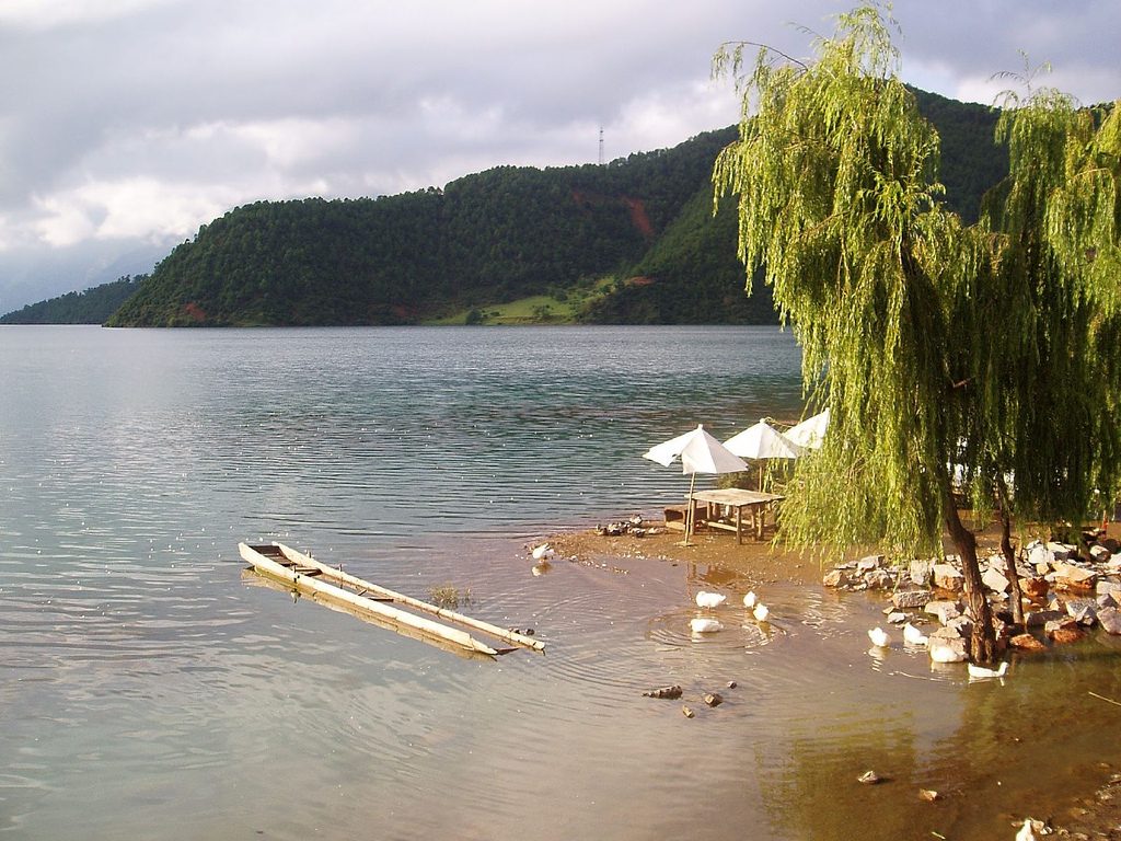
A pristine highland lake straddling Yunnan and Sichuan, home to the matrilineal Mosuo people. Glide across it in a dugout canoe or cycle the shoreline.
Sightseeing map
Major local sights pinned on a satellite map — tap a marker for its name.
- 1 Gemu Goddess Mountain
- 3 Lige Peninsula
- 4 Goddess Bay
- 5 Walking Marriage Bridge
- 6 Daluoshui Village
- 8 Wangfei Island
- 13 Caohai Wetland
- 14 Liwubi Island
- Best season
- March to October is the best window, and September to November — after the rains — brings the clearest water and the bluest skies. Winter is best for morning mist. July and August are the wettest months.
- Time to allow
- Two days minimum. It is far enough that a single day becomes nothing but driving.
- Altitude
- 2690 m
About
A highland lake straddling the Yunnan–Sichuan border, its surface at 2,690 m, covering 48.45 km² and 93.5 m deep at most. The shoreline runs about 48 km while the road around it is 70–80 km — two figures often confused. This is Mosuo country, and the walking-marriage tradition and dugout canoes are what make it distinct.
Getting there
Buses run from Lijiang bus station for about ¥80, and Lijiang airport is roughly 200 km away. From Dali it is about 5 hours — not worth it unless your trip starts there.
Getting around
There is no complete public transport around the lake, so circling it is on you. The bus only gets you to the lakeside; you still have to get around once there.
What to eat
Mosuo steam-pot fish, grilled fish and cured pork. Steam-pot fish shared between four works out around ¥50 a head.
Know before you go
On the stretch near the Jinsha River gorge the road drops 1,000 m within about 20 km; in the July–August rains, falling rock and landslides are a real risk, so leave slack in the schedule. The ¥70 entry ticket covers none of the boats, cableway, bonfire evening or shuttles — the most common source of surprise.
- Sights here
- Routes through here
Email us for free travel info: luguhu@turtlecharter.com